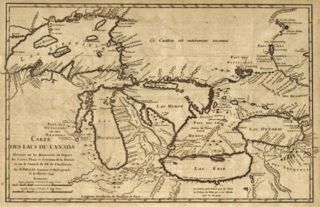
Carte des lacs du Canada (Early Map of the Great Lakes, 1744) in the Collections of the Wisconsin Historical Society

(“Any map may be printed or downloaded at no cost for nonprofit educational use by teachers and students, or for private use by individual researchers. Nothing may be reproduced in any format for commercial purposes without prior permission from the Wisconsin Historical Society.”)
Carte des lacs du Canada, 1744
Wisconsin Historical Society, Map and Atlas Collection
Wisconsin maps at the Wisconsin State Cartographer’s site
USGS Store for topographic maps and other maps
Blog entries for Wisconsin maps