-
Morning Twilight from the Red Bird Trail, High Cliff State Park – Sherwood, WI
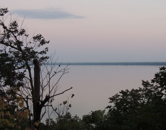
©2013 John Wanserski for Creative Juice LLCMap of High Cliff State Park (PDF file)
Trails at High Cliff State Park
Weather forecast for High Cliff State Park vicinity
Blog entries for High Cliff State Park
-
Morning Twilight Over Lake Winnebago, High Cliff State Park – Sherwood, WI
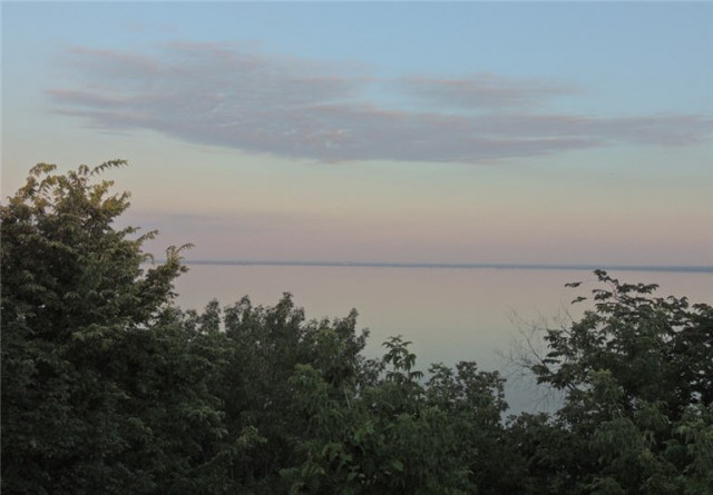
©2013 John Wanserski for Creative Juice LLCMap of High Cliff State Park (PDF file)
Trails at High Cliff State Park
Weather forecast for High Cliff State Park vicinity
Blog entries for High Cliff State Park
-
Trail from Group Campsite, Capital Springs State Recreation Area – Madison, WI
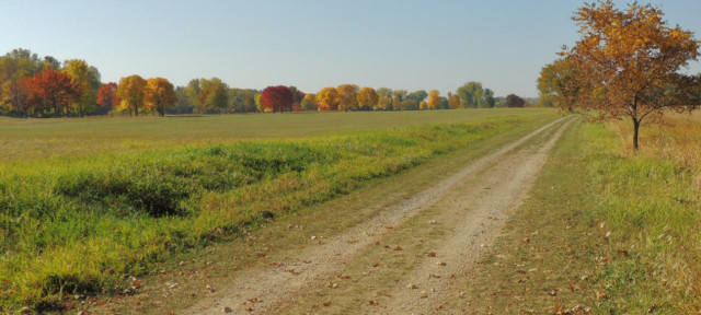
©2013 John Wanserski for Creative Juice LLCCapital Springs State Recreation Area
Map of Lake Farm Unit, Capital Springs State Recreation Area (PDF file)
Weather forecast for the Madison vicinity
Blog entries for the Capital Springs State Recreation Area
-
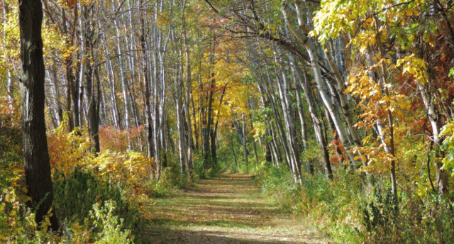
Wooded Trail in the Capital Springs State Recreation Area – Madison, WI

©2013 John Wanserski for Creative Juice LLCCapital Springs State Recreation Area
Map of Lake Farm Unit, Capital Springs State Recreation Area (PDF file)
Weather forecast for the Madison vicinity
Blog entries for the Capital Springs State Recreation Area
-
Hiking Trail in the Fall, Capital Springs State Recreation Area – Madison, Wisconsin
©2012 John Wanserski for Creative Juice LLCCapital Springs State Recreation Area
Map of Lake Farm Unit, Capital Springs State Recreation Area (PDF file)
Weather forecast for the Madison vicinity
Blog entries for the Capital Springs State Recreation Area
-
Trail Through the Oaks, Capital Springs State Recreation Area – Madison, WI
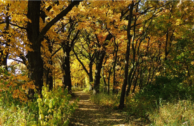
©2012 John Wanserski for Creative Juice LLCCapital Springs State Recreation Area
Map of Lake Farm Unit, Capital Springs State Recreation Area (PDF file)
Weather forecast for the Madison vicinity
Blog entries for the Capital Springs State Recreation Area
-
Trail to Frog Bay, Lake Superior – Red Cliff, Wisconsin

©2012 John Wanserski for Creative Juice LLCRed Cliff Band of Lake Superior Chippewa
Weather forecast for Red Cliff, WI vicinity
Blog entries for Frog Bay Tribal National Park
-
Houghton Falls Trail – Washburn, Wisconsin

©2012 John Wanserski for Creative Juice LLCHoughton Falls Nature Preserve
Blog entries for Houghton Falls Trail
Weather forecast for Washburn, Wisconsin vicinity