-
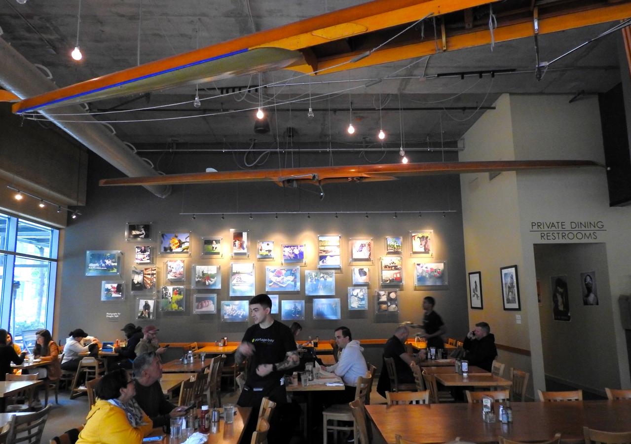
Rowing Shells on the Ceiling, Portage Bay Cafe (West Seattle) – Seattle, WA

©2025 John Wanserski for Creative Juice LLC
Portage Bay Cafe (West Seattle)
Yelp review of Portage Bay Cafe (West Seattle)
Seattle, Washington (Wikipedia entry)
Weather forecast for the Seattle, WA area
Blog entries for Portage Bay Cafe
Blog entries for other coffee houses
-
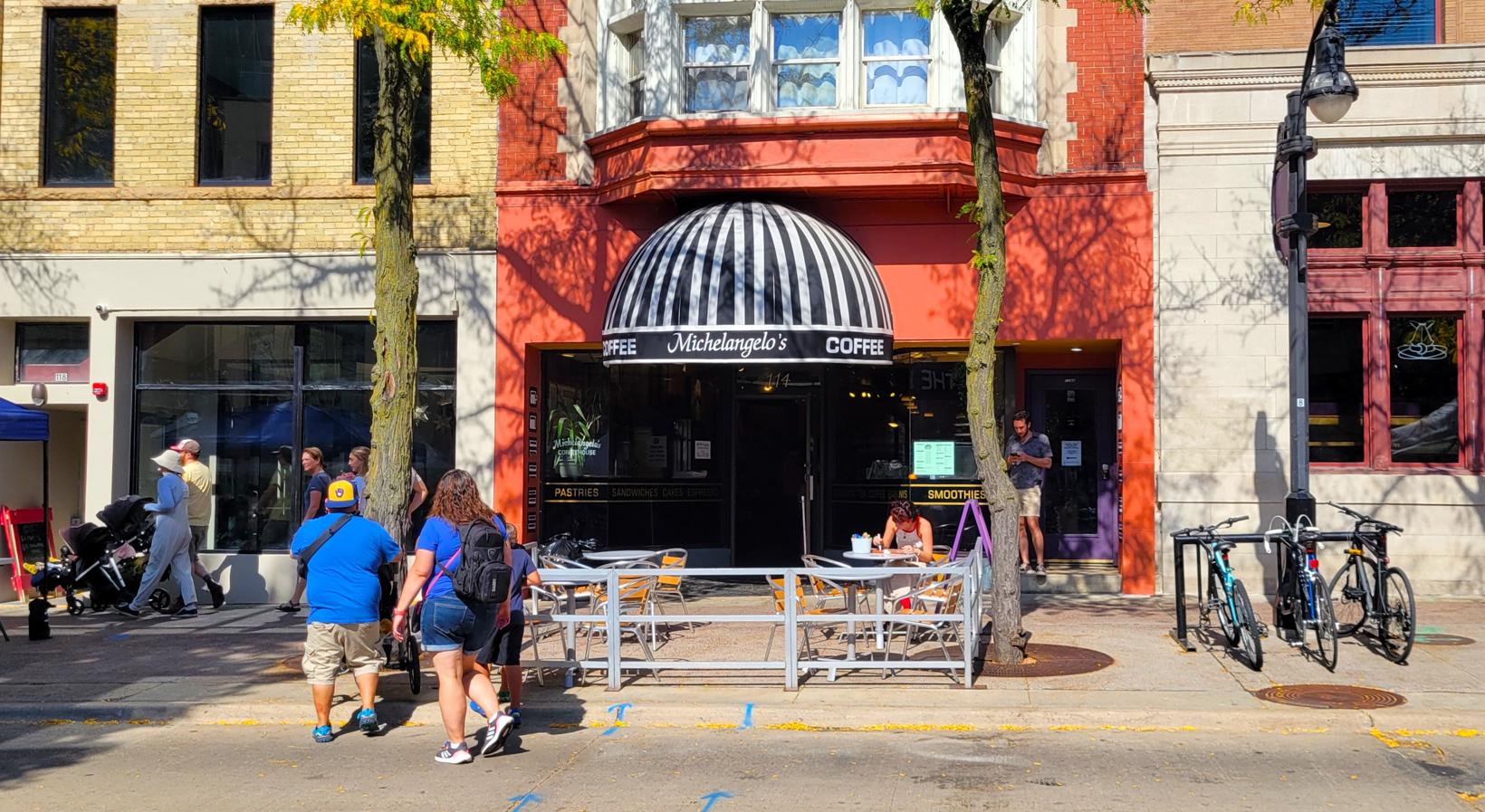
Street View of Front Entrance, Michelangelo’s Coffee House – Madison, WI
-
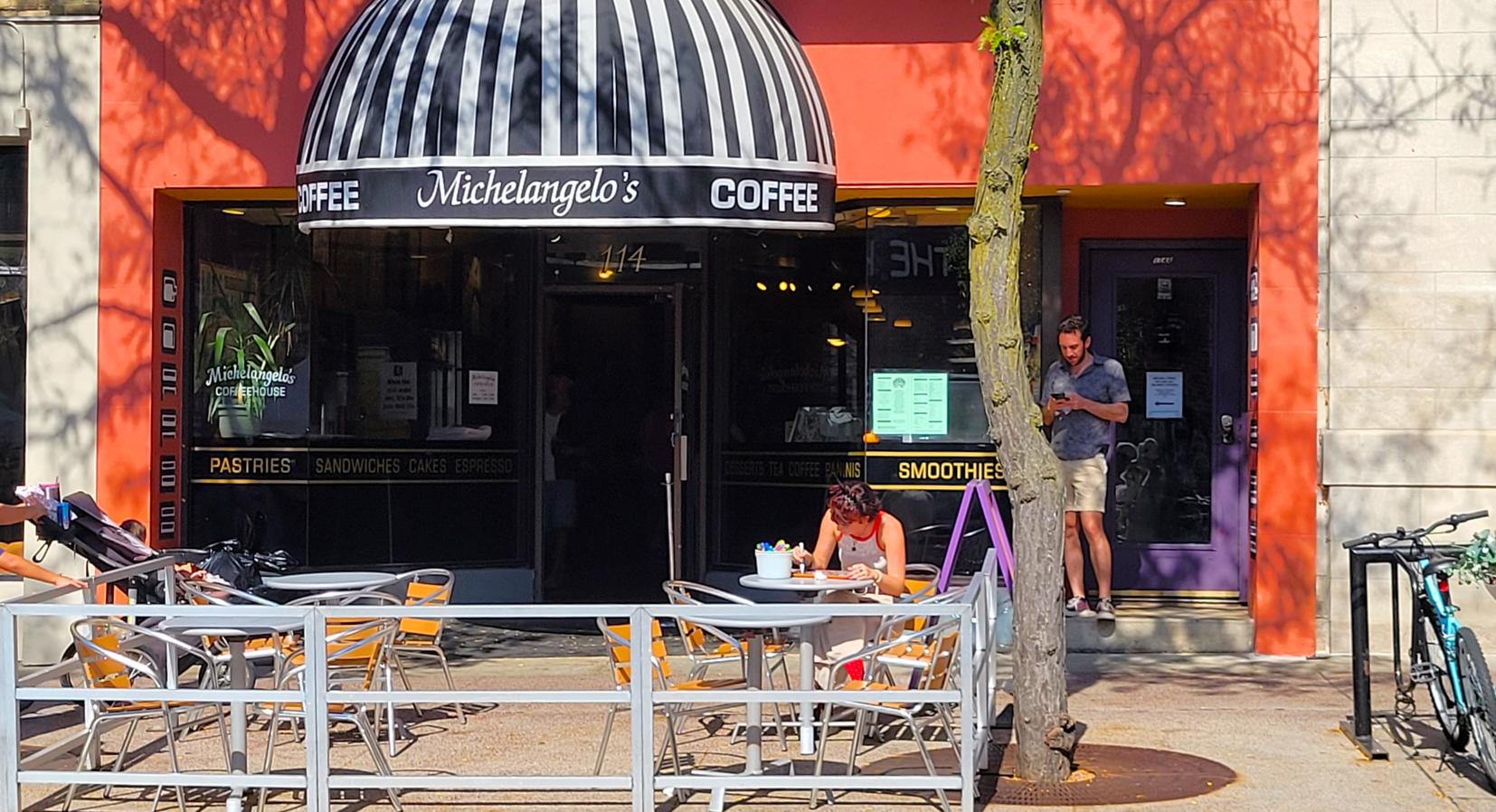
Front Entrance, Michelangelo’s Coffee House – Madison, WI
-
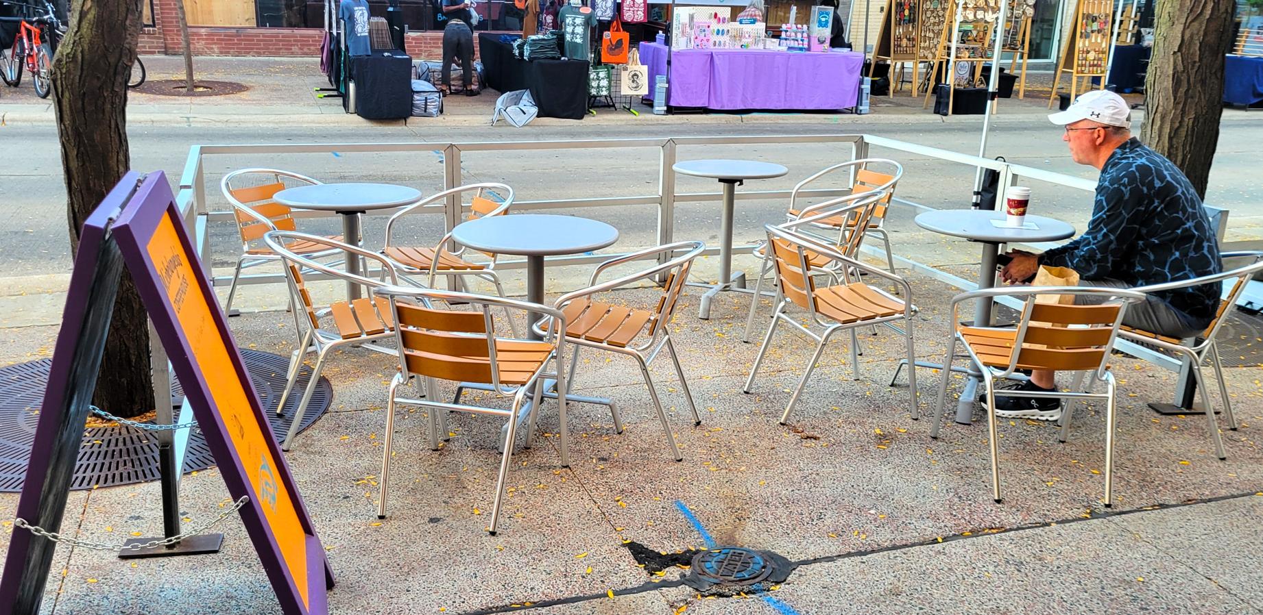
Sidewalk Seating, Michelangelo’s Coffee House – Madison, WI
-
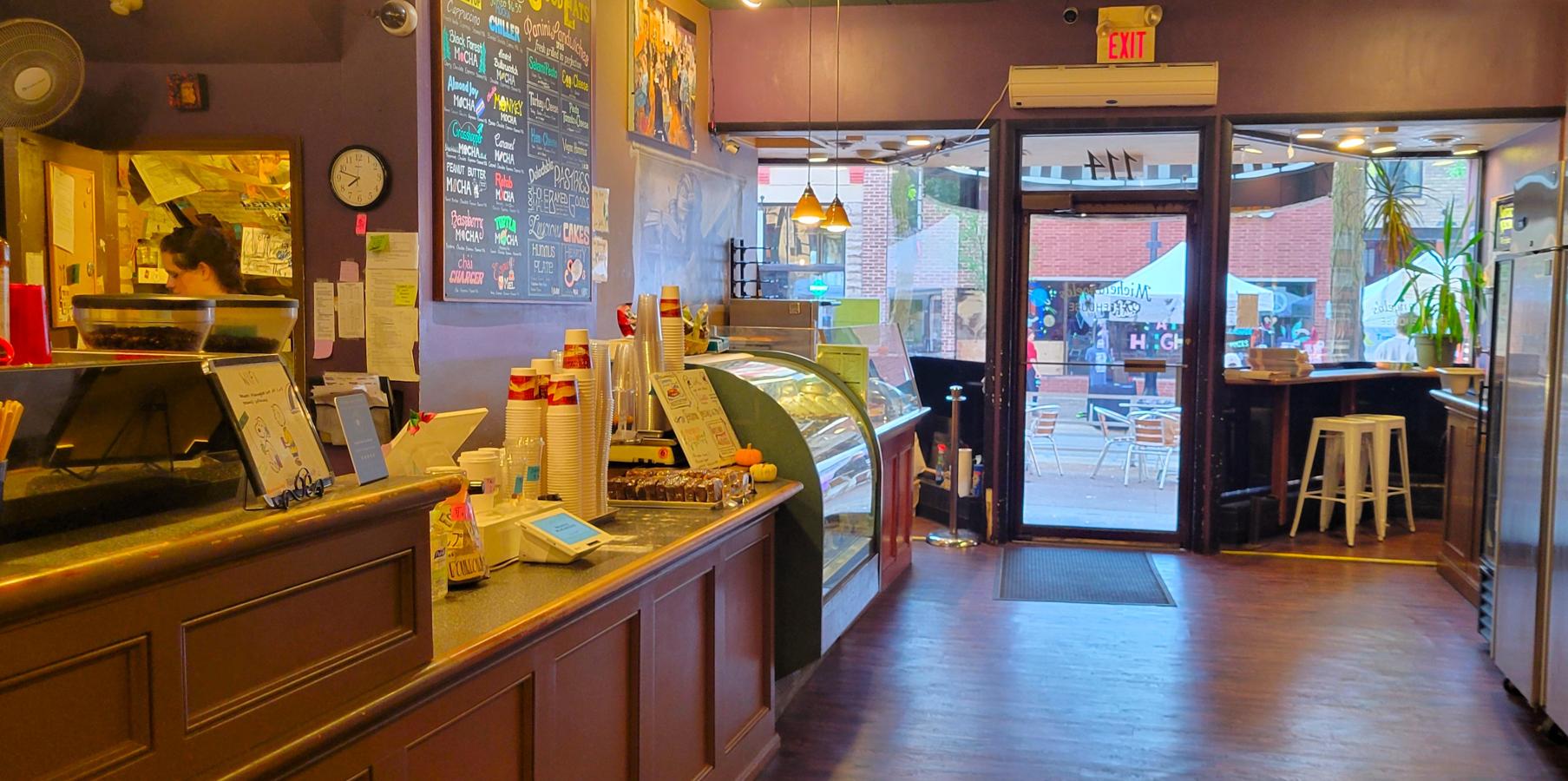
Service Counter and Front Entrance, Michelanglo’s Coffee House – Madison, WI
-
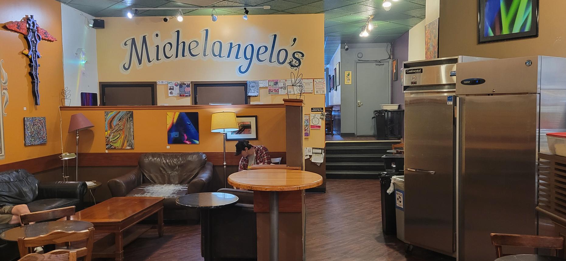
Soft Seating Area, Michelangelo’s Coffee House – Madison, WI
-
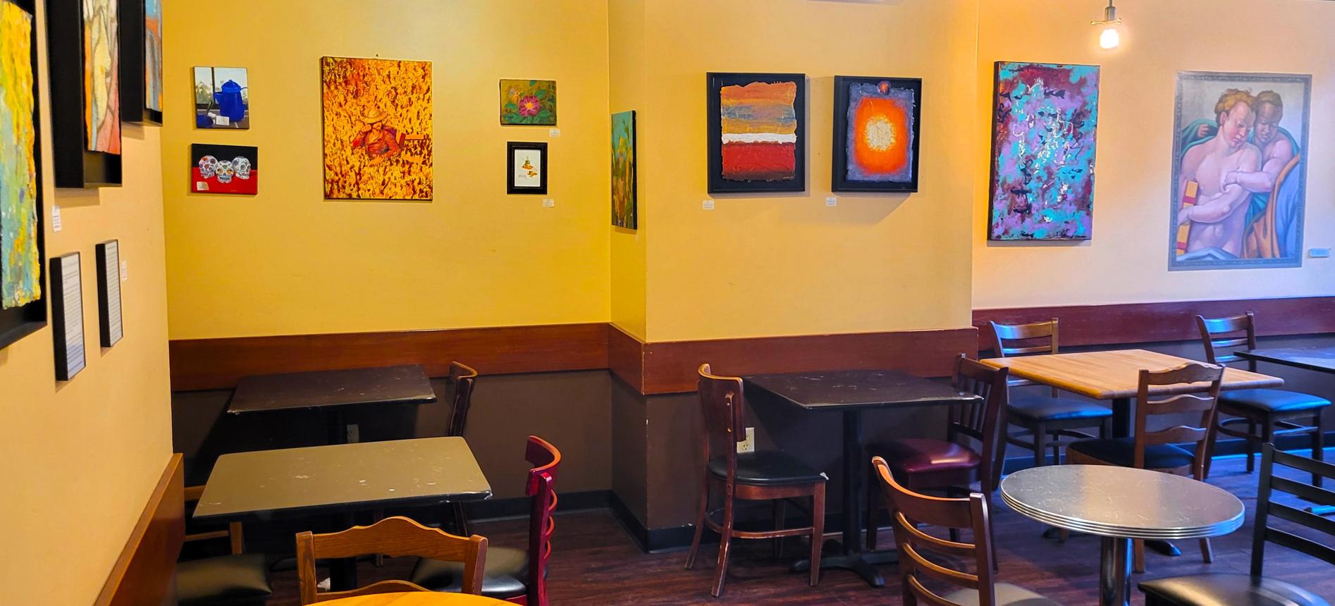
Walls of Art, Michelangelo’s Coffee House – Madison, WI
-
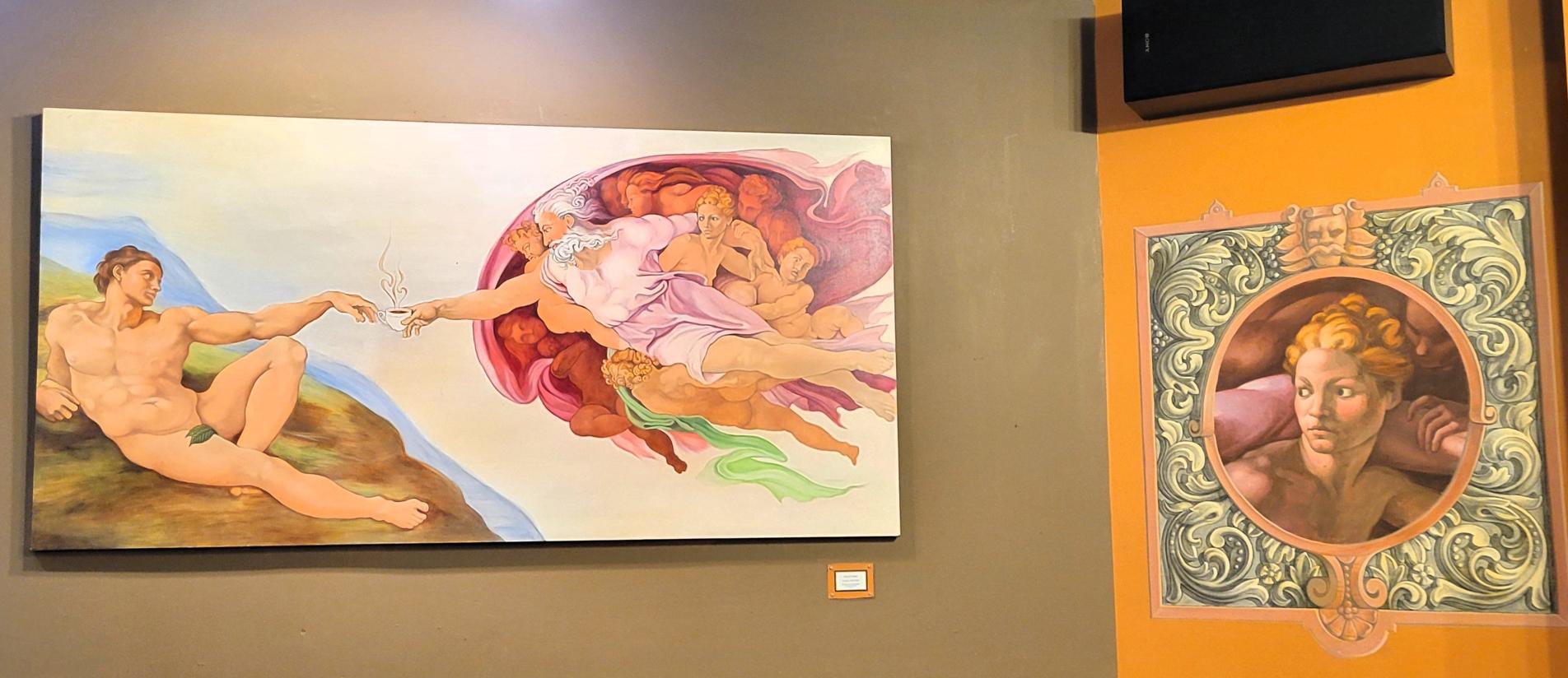
Art Paintings, Michelangelo’s Coffee House – Madison, WI